| |
Waimea Hikes, past and present |
2010 Kalaheʻe - Kamananui loop |
| Waimea Falls, from South Ridge |
Hikers gathering |
| Another shot of Waimea Falls |
Approaching top of Kalaheʻe |
| The one and only stream crossing, September 2009 |
Ditto, different hikers |
| Same stream crossing, two more people |
On the ridge |
| Some Drum Road hikers, October 2007 |
Lots of hikers on the ridge |
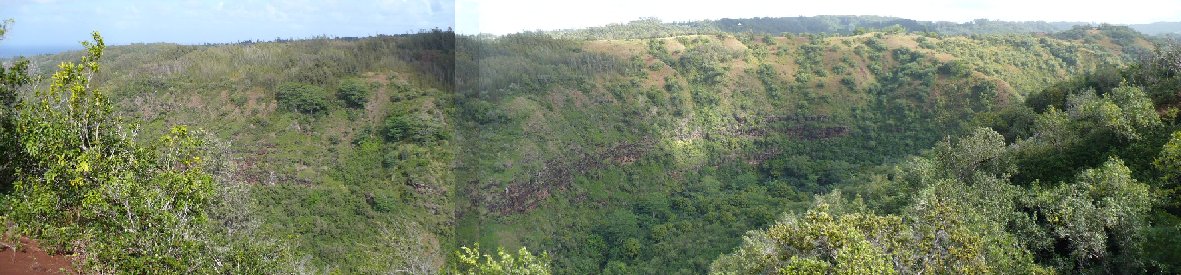
| Up North Valley, May 2009 |
Through the ulu paina |
| Oasis! |
Ditto, different hiker |
| Down South Valley, May 2009 |
Down South Valley, October 2010 |
| Another South Valley stream crossing |
No rush, we'll all get there |
| The old swimming hole |
Ye olde swimming hole |
| Stone thingamajig |
GPS track |
| The uphill part, 3 Feb 10 |
Two Ridges Hike 2013-06-19 |
| To Middle Ridge (aka "North Ridge," Kalaheʻe) |
| Plants not in John's book #1 |
Starting along South Ridge |
| Plants not in John's book #1a |
North ridge makai, North ridge mauka |
| Plants not in John's book #2 |
Spas, |
| Something else not in John's book! |
Tower pole, Arrow (missing)
|
| Amazing Bonus! The 12 Kamananui Stream crossings! |
Picnic table #1,Picnic table #2,
|
| Maps and elevation-distance time-distance profiles |
Some stuff from Cattle Chute hikes |
| Click here |
| Back to Albums list |