As for 2013, I knew I had 2012 on my new improved GPS. I planned to cover from the stream crossing on, if we crossed. When we didn't, I started the track at the stream and tracked back.
Included is an extra bit starting at about "Fork?" where I tried to find the original stream crossing when we used to do this clockwise. I'm not sure I succeeded; I got to the stream over familiar-looking territory, but saw no sign of a trail heading up the other side. (Was it always kind of iffy anyway?)
I also added the waypoint labeled "Marked intersection with trail south to ?" hoping I might figure out its destination by looking at this map, but no such luck.
By the way, you can hide tracks by clicking on their names in the box. And of course change the map type from "Google hybrid" to whatever, as well as zoom in and out.
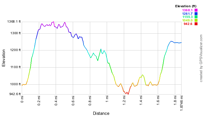
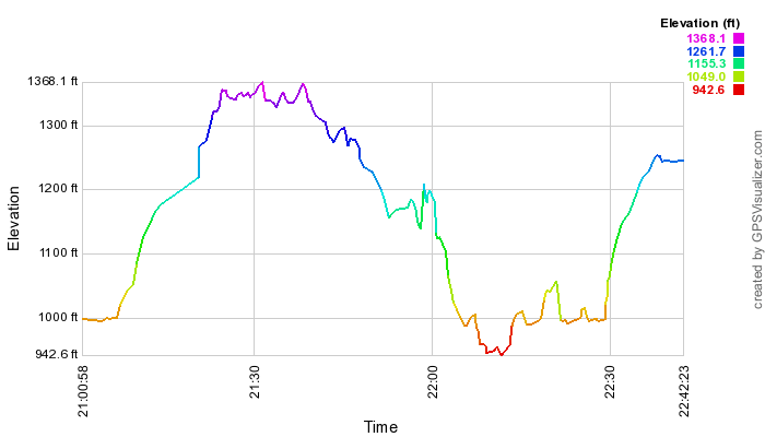
Below, for the May 2013 trek, elevation by distance (including my extra jaunt) and elevation by (my) time profiles. (I forgot to stop for lunch. Lucky! I was eating it in my car when the clouds burst.)