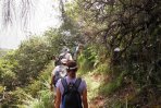
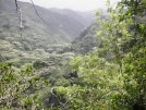
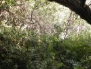
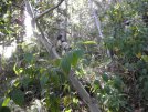
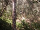

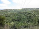
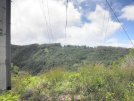
| The group did McCandless Ditch on 2014-07-02, but three members were inclined to do a
shorter hike in the same area, climbing from an early part of the contour trail to a water
tank above the gated community and then proceeding along Ōnikiniki Ridge to a point where
one can turn down to the waterfall in the valley. The leader wasn't sure of the turn when he
found it, so we proceeded to the fork in the contour trail where the main group would turn
down to the left. We then decided to turn back and take another look at the suspected turn up
to the water tank, and soon discovered it had been the right place. Here are a few photos and a map from the adventure. |
|
|
|
|
|
|
|
|
| Back to Albums list | |||||||
| This map shows four hikes in the area. We used to call it "Onikiniki" instead of McCandless
Ditch, and two versions are shown here, the loop via "Burnt Ridge"(?) and the in-and-out that
follows the stream farther. For reference, the 2012-version Kalauao, where some of us went as
far as "Sun Rock." (We did the loop clockwise; I was late to turn on the GPS, so the start is missing.) And, in the middle,
the hike three of us did. Remove tracks that get in the way by clicking on their names. To zoom in, select the Google Hybrid map. Distance/elevation, time/elevation profiles, expandable, in case of interest. 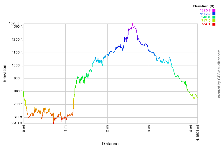 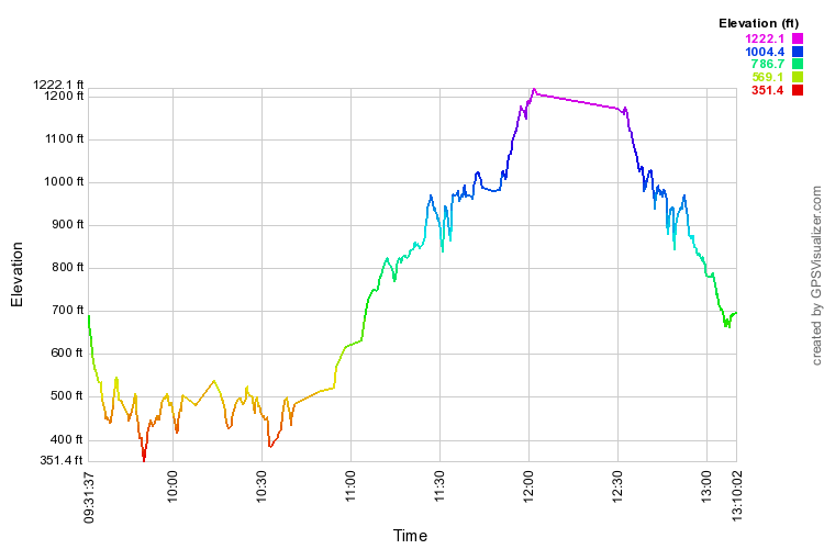
|