


|
For some reason, I took no photos of the ridge trail, which was actually dirt road.
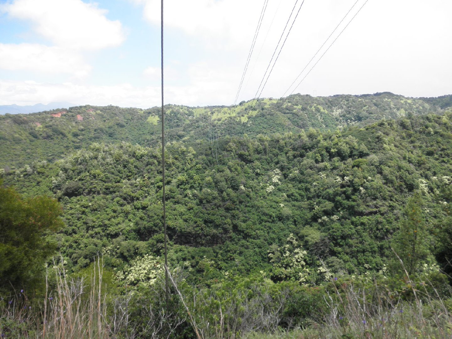
At one point we had this clear view of "Burnt Ridge"(?); some of the main group had already climbed to
the top from way up the valley on the other side, and were coming down it, hoping to find the trail
down to the nearer valley, which, according to the Google map available from the photo list page,
is a little up ridge from the power pole seen here.
(Zoom in to near max on the map, to see the wires.) |