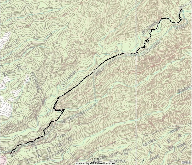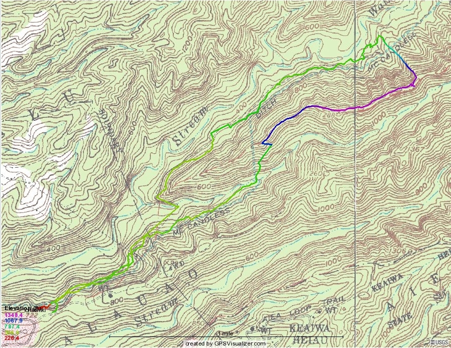
Below, a Bushnell version of the 2010 trek. The little loop toward the upper right is where David and I were considering taking the ridge root back, but didn't find a trail that looked good. The fork at the TL009 in the lower left shows where I decided to try an alternate route back to the cars, a kind of nasty one ending at the "L."