Scroll down for elevation--distance/time profiles


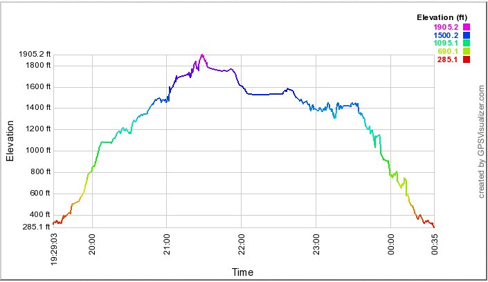
Straight lines of 30 minutes or more likely show lunch stops.
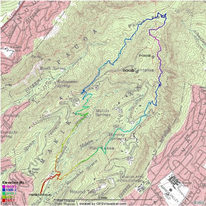
| 2011 track map | |
|
This is the 2011 route, tracked by a Magellan Explorist 500 Scroll down for elevation--distance/time profiles |
|
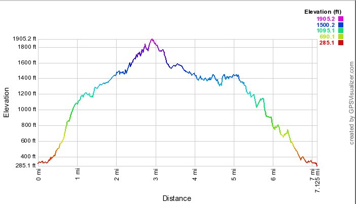
To the left, altitude vs distance for the 2011 hike |
|
This graph shows elevation vs time. Subtract 10 hours for Hawai`i time. Straight lines of 30 minutes or more likely show lunch stops. |
|
|