 |
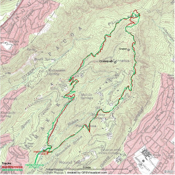
The 2011 (green) and 2012 (red, made with a Magellan Explorist 310) routes, superimposed.
The 310 tends to do a better job than the 500 did, but the wide variation at the top of the map reflects different routes for the two hikes.
Scroll down for elevation -- distance/time profiles


 |
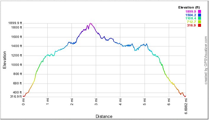 |
To the left, altitude vs distance for the 2012 hike |
| 2012 elevation by distance (above) and time (below) |
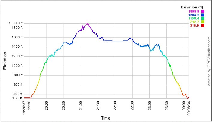 |
This graph shows elevation vs time. Subtract 10 hours for Hawai`i time.
Straight lines of 30 minutes or more likely show lunch stops. |
|
|