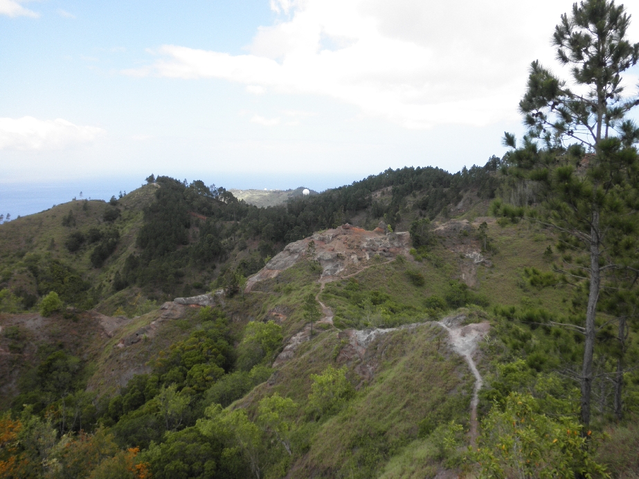
The trail to the left at the bottom of the rocky knoll below the radar dome, in the center, leads down the ridge that marks the west end of Mākua Valley. Further along in this album are a couple of photos from a year earlier when Kelvin and I explored it.
Blocked by the tree on the right is another rocky place at the top of which is the lunch spot we use on Keālia-Kuaokalā loop hikes, in the "lunch time" photos.


