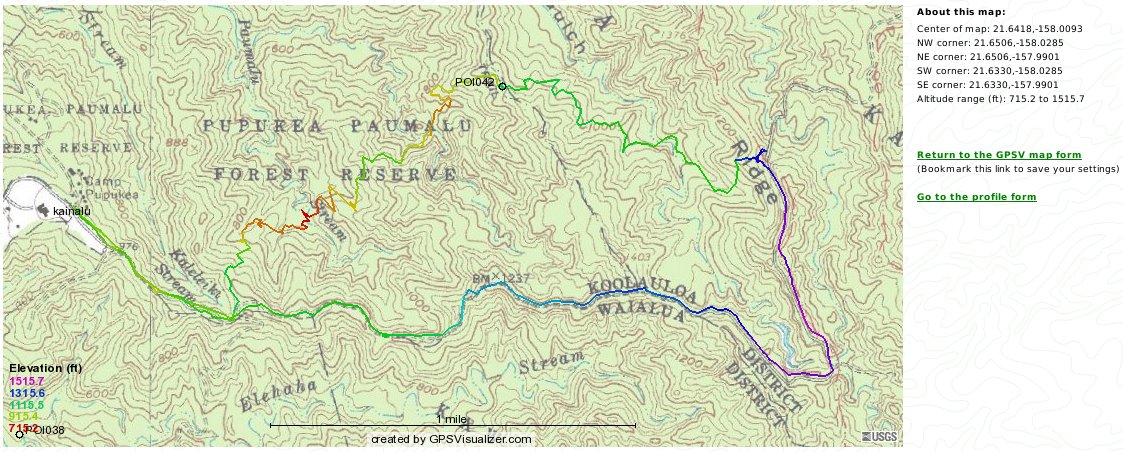
The usual lunch spot is over to the right between "i" and "d" of "Ridge." The extra loop on the track there is where I went to look over the embankment above the road.
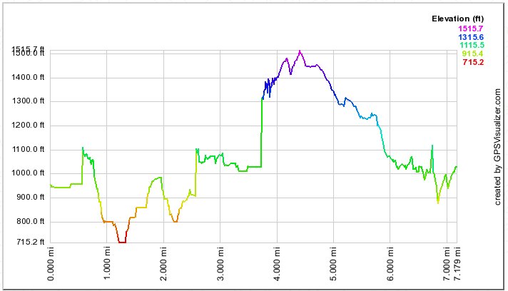
The profile below shows a lot of unlikely elevation changes, but the "7.179 miles" is probably a bit closer to the true distance than the advertised "six miles,"
allowing that I did do a small bit of wandering at the lunch spot. Or maybe "six miles" is from the actual trailhead and back?


Selecting "Next" here will bring you to some photos taken on a 2010 HTMC version of the hike.
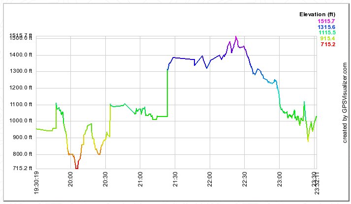
The instantaneous great changes of elevation in the time profile below are obviously false, but the overall time
(subtract 10:00 from the "o'clocks") of four hours is pretty much what this hike takes, including lunch.