I have replaced a 2012 map with one from 2013 and one from 2015. In 2013 a few of us pushed on to the intersection with the Maunawili Falls trail before returning to lunch at the usual spot. I believe some did so again this year, but I stopped with most of the others at the end of the red track, in the small ironwood grove.
You can select a topomap version from the requester, upper right corner, and hide either of the tracks by clicking on its name, as well as zoom or scroll freely.
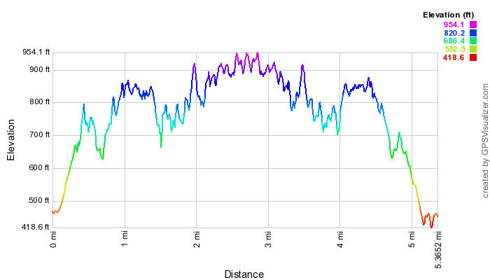
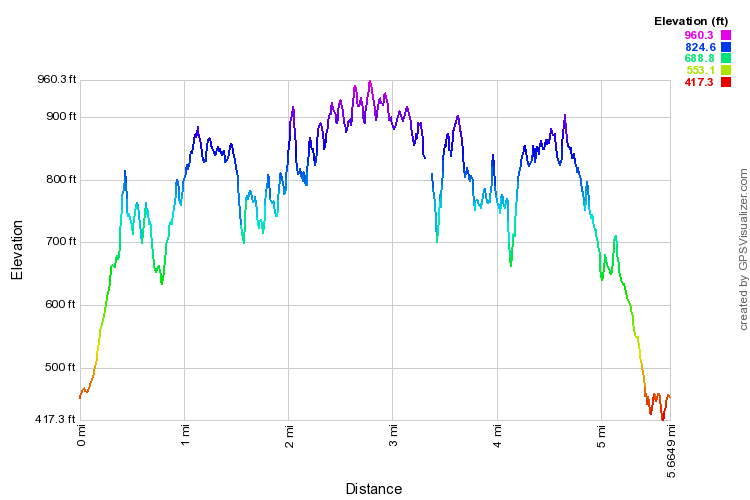
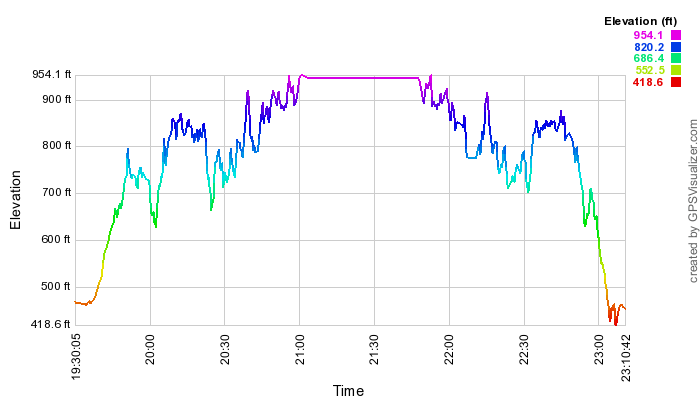
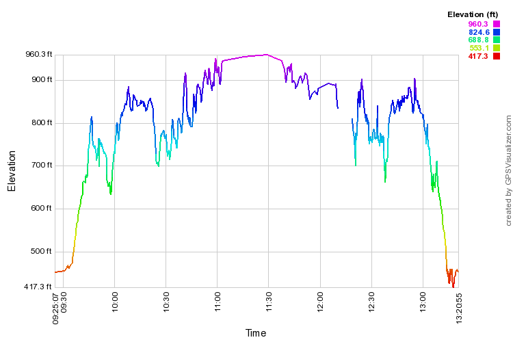
Scroll down for enlargeable elevation and time profiles.