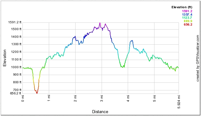
The distance/elevation profile below the next paragraph suggests the main hike was six miles long.
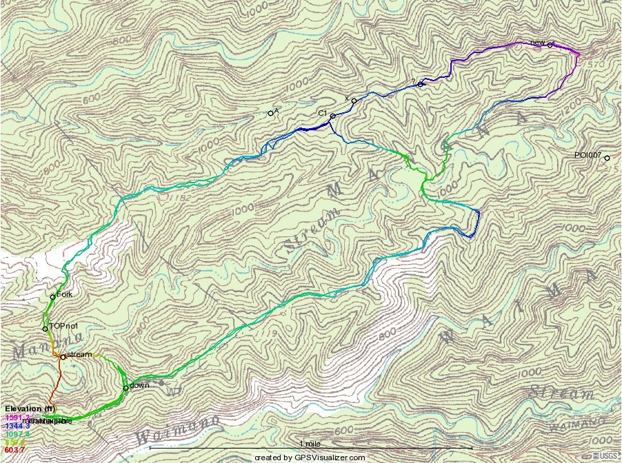
John, Bill, Willy, and I decided to do some rerouting at the upper stream crossing, so we did a shorter version of the hike counterclockwise. From the crossing we headed up "bail out" (or "Crossover") 1, then back the way the main hike had come, except that some of us took the steeper final climb, ending closer to the cars.