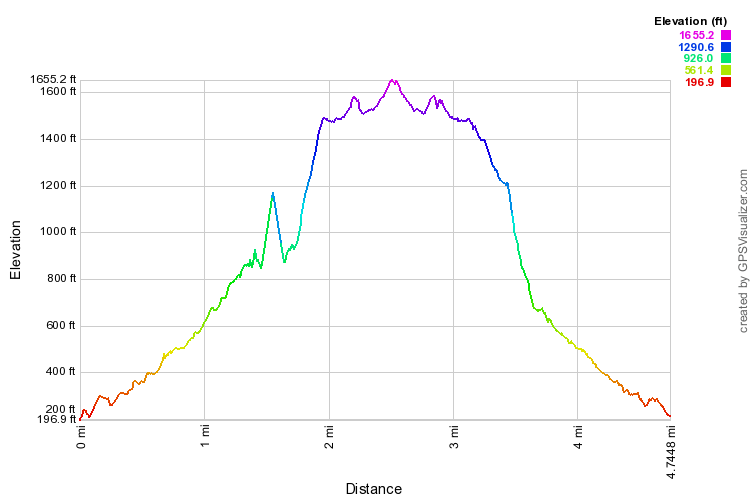
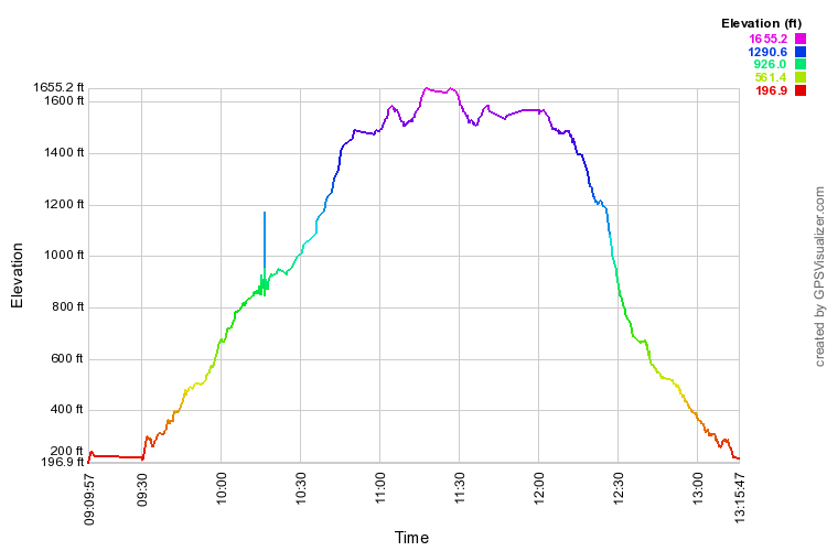
You can erase either track (or both) by clicking on the name in the title box. I like topo maps, finding aerial photos sometimes hard to interpret. One disadvantage of the topo maps is that they cannot be enlarged much. One can switch to a Google map from the drop-down menu, upper right, and zoom in and out to your heart's content.


Curiously, the Google Hybrid map mispells "Kūlepeamoa" the same way Bryan's Sectional Maps does, as "Kulepiamoa." Place Names of Hawaii, Mary Kawena Pukui, et al., 1974 ed., makes no mention of an alternate spelling. After all, there is no such word in Hawaiian as "lepi"! The USGS maps that give names spell it correctly.