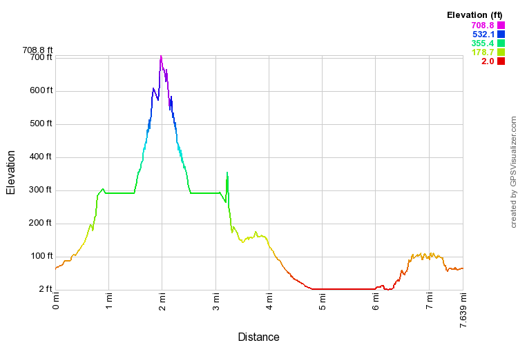
Great fun to zoom in.
Some editing was necessary. When we went through the crater tunnel, and the tunnels near the summit, my GPS just made stuff up while hunting for the satellites.
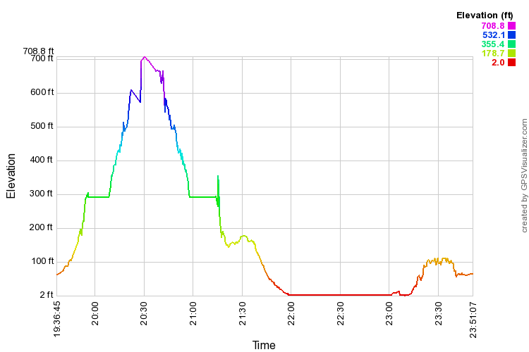
Below, expandable distance/ and time/elevation profiles of the hike.